


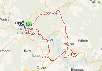

23 km | 34 km-effort


Utilisateur


Application GPS de randonnée GRATUITE
 SityTrail
IGN / Instituts géographiques
SityTrail World
Le monde est à vous
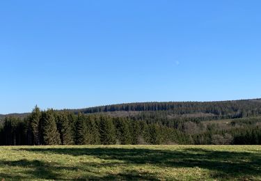
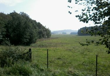
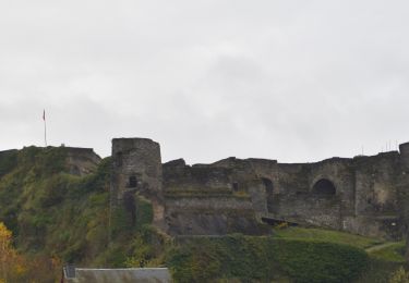
Randonnée V.T.C. de 38 km à découvrir à Wallonie, Luxembourg, La Roche-en-Ardenne. Cette randonnée est proposée par papadoc.
Pierre Pauquay. Les plus belles balades au fil de l'eau.
Balade 1, ouvrage que je recommande chaleureusement.
Variante plus courte et plus facile.

Marche
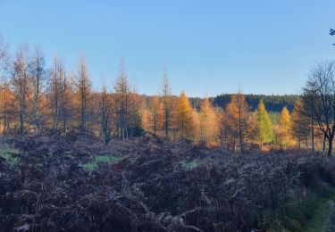
Marche
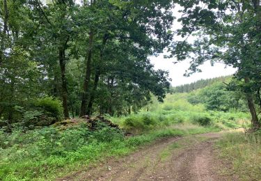
Marche
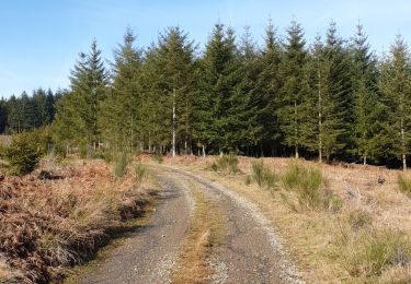
Marche

Marche
Marche
Marche
Marche
Marche